When Streets Think
Cities Move
Rethinking How Cities Manage Public Parking
Every overstay, found in real time.
Most councils can see whether a parking space is occupied or paid for, but they can't see which vehicle is in it or how long it's been there.
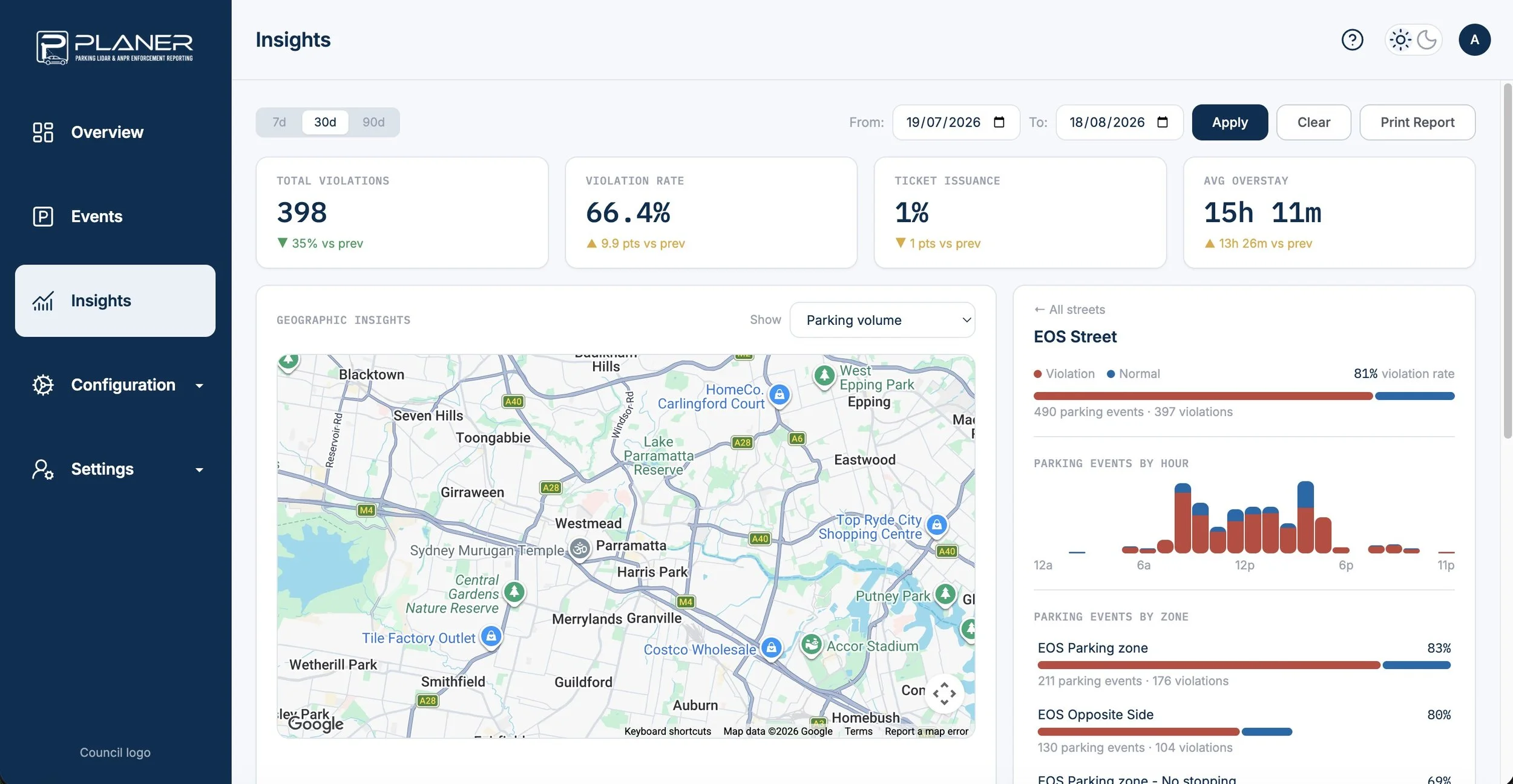
PLANER uses fixed 3D LiDAR sensors and ANPR cameras to track each vehicle from the moment it arrives, so your team has a live, accurate picture of every monitored street from the office.
LiDAR and ANPR cameras watch every monitored space around the clock and send rangers straight to confirmed overstays. Your team stops chasing hunches on patrol, spaces turn over the way they should, and traders get their customers back.
Smarter streets for everyone
A live view of every street
Every monitored bay appears on one dashboard with arrival times, durations and plate records, so your team knows where enforcement is needed before anyone leaves the office. Each flagged overstay comes with an exportable evidence package, which makes disputes far easier to settle.
— For councilsStraight to the right car
The ranger app maps confirmed violations across the precinct and plots the quickest route between them, with Google Maps built in. Less time walking the block hoping to spot something, and more time spent where it actually counts.
— For parking officersEasier to find a park
When time limits are enforced consistently, bays turn over the way they're meant to. Shoppers spend less time circling, traders see more customers through the door, and no-stopping zones stay clear for everyone's safety.
— For the community